
Iconic Red Roads
/
Photo from Sean Landsman
Twists and turns on iconic red dirt roads share an unspoken promise of a breath taking scenes around each corner, the lure of which provides incentive to spur travellers on.
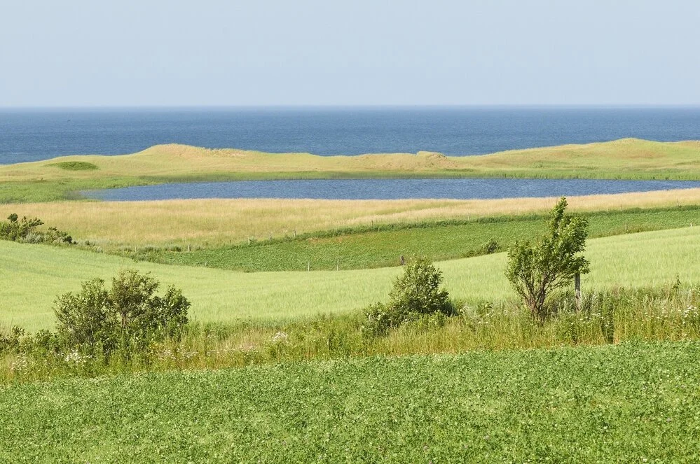
Panoramic views of the countryside provide that ahh feeling that resets your soul.
Expect to see glimpses of days gone by as you pass abandoned farmsteads. It’s easy to imagine what life would have been like when these buildings were in their prime.
The twisting red roads are boarded with trees proudly standing in salute. Varieties of Red Maple, Beech, Sugar Maple and Red Oak make for a complementary combination all year round.
In Spring Lupins, Queen Anne’s Lace, daisies, and a host of other wild flowers are reflective of an oil painting that has been brought to life.
Throughout all of this exploring, you will not be alone in your journey. You can expect to lock eyes in a curious stare with one (or more) of the islands infamous foxes that roam freely throughout the woods.
Rustic Roads to add to your route are:
Walls Road
Location: West of Scales Pond Park in the Freetown area, Wall's Road is passable from Rte 111 to the bridge.
Hackeney Road
Road (Rte 142) for 2.2 km to meet Rte. 136 near Mill River Resort.
Millman Road
Location: North of Kensington, the Millman Road runs south from Rte. 101 in Irishtown for 2 km to meet with Rte. 231 in Burlington. Travelling from north to south provides a good vantage point.
Princetown - Warburton Road
Location: Sections of the Princetown and Warburton Roads form a "Y" shape covering 7.8 km. From Rte. 239 near Millvale the Warburton Road travels south to Fredericton Station. The adjoining section of the Princetown Road runs west from the Warburton Road toward South Granville.

Perry Road
Location: Near St. Patrick's in central Queens, the Perry Road runs south from Rte. 239.
Junction Road
Location:This road is part of Rte. 227 near Hartsville. Entering from Rte .225.
Jack’s Road
Location: Near the south shore and Wood Islands this road runs from Rte. 1 in Flat River to Rte. 207 for a distance of 4.1 m.
Klondyke Road
Location: For 4.9 km the Klondyke road travels roughly in an east west direction from the Selkirk Road (Rte. 23) south of Iona, to the Murray Harbour Road (Rte. 24).

Country Line Road
Location: The designated portion of this road (Rte. 325) begins at Caledonia at the intersection of Rte. 315 and runs north for 2.6 km until it intersects with Rte. 317.
Mellish Pond Road
Location:Just east of New Perth, this road runs south from Rte. 3 for 3 km to meet the MacDonald Road.
New Harmony Road
Location: Northeast of Souris (Rte. 303) that runs from the Greenvale Road to the Tarantum Road (Rte. 304).
Resource: Tourism PEI